Eugen Tapoveti
GIS & GEOMATICS
PROFESSIONAL
CARTOGRAPHY / ANALYSIS / AUTOMATION
GIS, geomatics,
cartography, analysis
& automation.
I work at ATCO Gas, maintaining utility data and building GIS tools, applications and automated workflows.
- ArcGIS Pro
- Python / ArcPy
- FME Form & Flow
- Utility Network
- Power BI
- QGIS
01 / SELECTED WORK
Selected projects
Three projects from my portfolio. Open each one to see the full map and project details.
All 23 map projects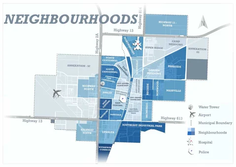
02 / QGIS + Inkscape
Wetaskiwin Neighbourhoods
A preliminary neighbourhood map made with QGIS and Inkscape. Not an official or final map.
View project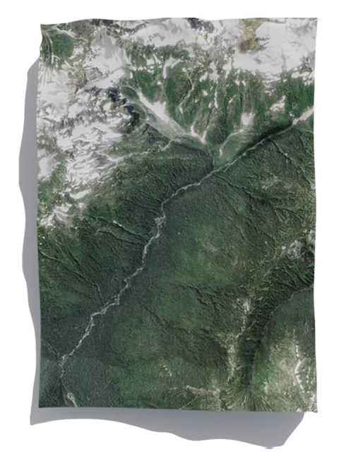
03 / Blender + ArcMap
Map Rendering in 3D
A terrain rendering made primarily with Blender and ArcMap.
View projectEUGEN TAPOVETI / GIS & GEOMATICS02 / ABOUT ME
My background
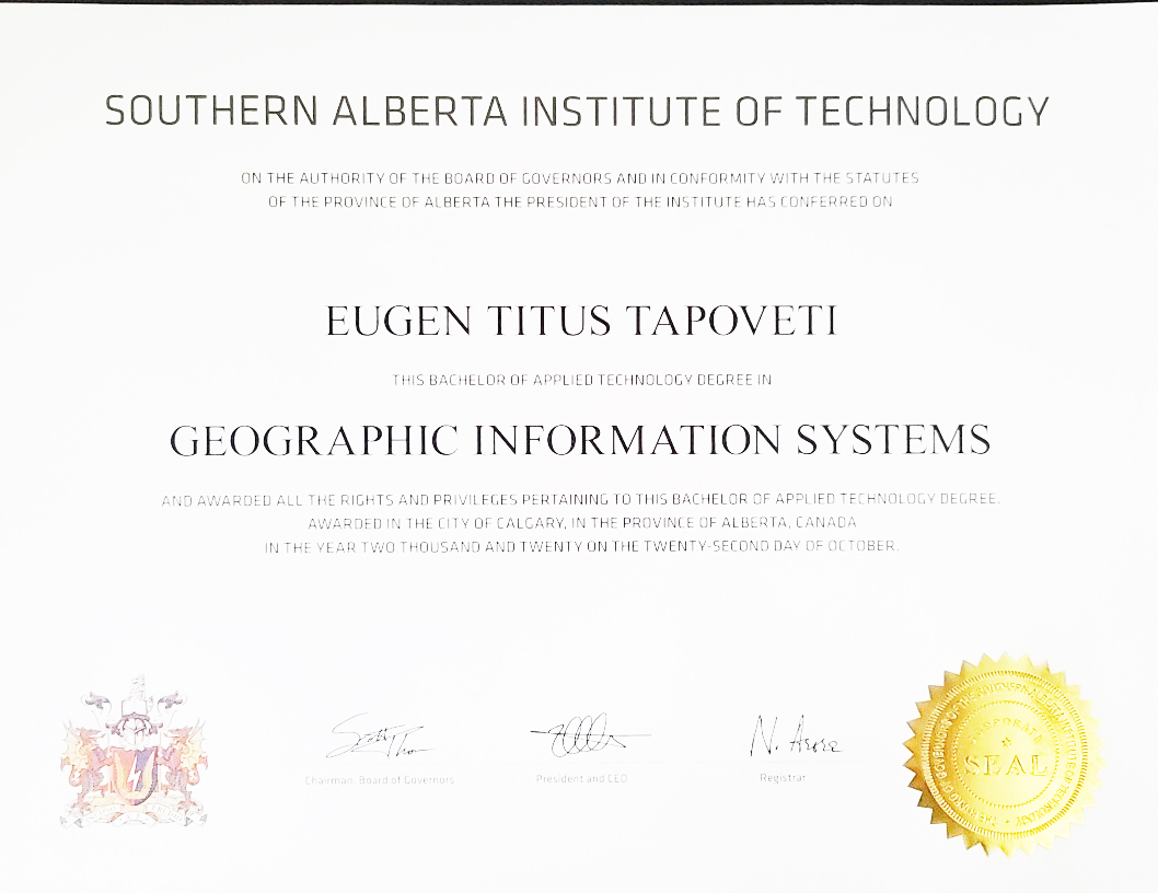
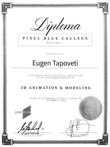
I studied GIS at SAIT, geomatics engineering technology at NAIT, and 3D animation and modelling at Pixel Blue College.
My background combines field surveying and municipal GIS with utility mapping, application development and automation. I use Python and FME to process data, check quality and automate reporting.
View work historyGISSAIT education
GeomaticsNAIT education
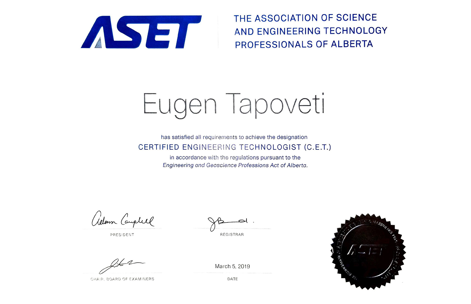
C.E.T.ASET credential